

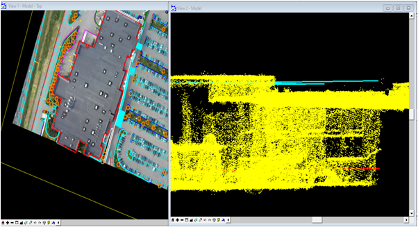
2D Mobile Mapping
PROJECTS
2D Mobile Mapping
Objective:
Generate current, accurate parcel maps which show the corrected data of different feature types i.e, Buildings, painted lines, Roads, Vegetation, Guard rail, Point features (Light poles, Manholes, Catch basins) and the building top and foot print must be matched to the LAS/LAZ point cloud as mentioned.
Inputs Used :
UAV Data (.tiff) provided by client, Content feature library, LAS/LAZ.
Output :
DGN file or .DXF file.