

HD MAPS
PROJECTS
HD MAPS
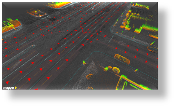
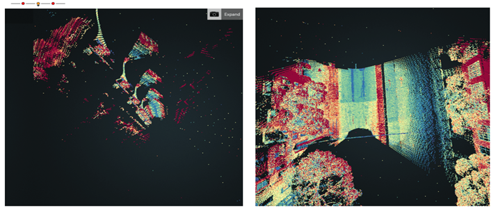
Objective:
Conventional high definition map creation using LiDAR for Autonomous Vehicle by supporting Machine Learning , it is an expensive and time taking sometimes months to build an acceptable base map here UAV vehicles and the areal and terrestrial data cloud points .match the Aerial and Terrestrial data. these are In-house built automated tools & Lidar Data to auto generate accurate Maps.
Inputs Used :
UAV data (point cloud).
Software Used :
Google Chrome, Firefox.
Output :
Corrected Data (Automated Updation to client though online)