

Municipal GIS
PROJECTS
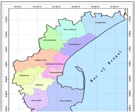
Municipal GIS
LMS provides GIS services with a solution for spatial data management to government and organizations through GIS remote sensing services.
Objective:
Preparation of GIS Base maps for different municipal areas linked with the corresponding up-to-dated database., Updation of Revenue database, Rationalization of house Numbering.
Inputs Used : Latest High Resolution Satellite Imagery (HRSI)
Output : Final Base map incorporating all the updations with final report.